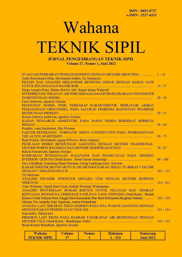
ANALISA LAJU SEBARAN YIELD SEDIMEN PADA DTA WADUK SAGULING DENGAN MENGGUNAKAN PENDEKATAN USLE-GIS
DOI:
https://doi.org/10.32497/wahanats.v27i1.3678Keywords:
usle, erosi, yield-sedimen, saguling, citarum, GISAbstract
One of the issues that is still a problem in the upstream watershed, including the
water catchment area of Saguling Reservoir, is land use change. Changes in land
use in water catchment conservation areas into economic, industrial and residential
areas, will cause an increase in run-off during the rainy season and sediment
transport to the reservoir inlet, while changes in land use downstream of the
reservoir will cause an increase in demand. Therefore, research is needed to
determine the rate of increase in sediment yield that occurs in the watershed of the
Saguling Reservoir. The integration of USLE and GIS allows us to determine the
spatial distribution of parameters. Each factor in USLE is calculated using the
existing facilities in the GIS software. The results showed that there was an
increasing rate of sediment yield in the "Very Heavy" TBE category, while in the
"Medium" TBE category the trend of sediment yields showed a downward trend.
References
Agaton, M., Setiawan, Y., & Effendi, H., 2016, Land Use/Land Cover Change Detection in an Urban Watershed: A Case Study of Upper Citarum Watershed, West Java Province, Indonesia.
Bera, A., 2017, Estimation of Soil loss by USLE Model using GIS and Remote Sensing techniques: A case study of Muhuri River Basin, Tripura, India. EURASIAN JOURNAL OF SOIL SCIENCE (EJSS), 6(3), 206”“206.
Devatha, C.P., Deshpande, V., & Renukaprasad, M.S., 2015, Estimation of Soil loss Using USLE Model for Kulhan Watershed, Chattisgarh- A Case Study. Aquatic Procedia, 4, 1429”“1436.
El Jazouli, A., Barakat, A., Ghafiri, A., El Moutaki, S., Ettaqy, A., & Khellouk, R., 2017, Soil erosion modeled with USLE, GIS, and remote sensing: a case study of Ikkour watershed in Middle Atlas (Morocco). In Geoscience Letters (Vol. 4, Issue 1). SpringerOpen.
Salim, A.G., Dharmawan, I.W.S., & Narendra, B.H., 2019, Pengaruh Perubahan Luas Tutupan Lahan Hutan Terhadap Karakteristik Hidrologi DAS Citarum Hulu. Jurnal Ilmu Lingkungan.
Taslim, R.K., Mandala, M., & Indarto, I., 2019, Prediksi Erosi di Wilayah Jawa Timur. Jurnal Ilmu Lingkungan, 17(2), 323.
Nearing, M.A., 1994, Detachment of Soil by Flowing Water Under Turbulent and Laminar Conditions. Soil Science Society of America Journal
Prayitno, J.S. Tasirin, M.Y.M.A. Sumakud, dan J.A. Rombang, 2015, Pemanfaatam Sistem Informasi Geografis (SIG) Dalam Pengklasifikasian Bahaya Erosi Pada DAS Talawaan. Jurnal Ilmiah Fakultas Pertanian Universitas Sam Ratulangi. 6(11):1-8
Wischmeier, W.H dan D.D. Smith, 1978, Predicting Rainfall Erosion Losses A Guide to Conservation Planning. Washington DC: Goovernment Printing Office.
Downloads
Published
Issue
Section
License
Authors who publish with this journal agree to the following terms:Authors retain copyright and grant the journal right of first publication with the work simultaneously licensed under a Creative Commons Attribution License that allows others to share the work with an acknowledgement of the work's authorship and initial publication in this journal.
Authors are able to enter into separate, additional contractual arrangements for the non-exclusive distribution of the journal's published version of the work (e.g., post it to an institutional repository or publish it in a book), with an acknowledgement of its initial publication in this journal.
Authors are permitted and encouraged to post their work online (e.g., in institutional repositories or on their website) prior to and during the submission process, as it can lead to productive exchanges, as well as earlier and greater citation of published work (See The Effect of Open Access).


